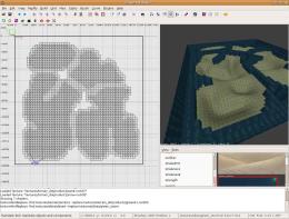
Hello,
I wrote a simple cross-platform application which generates terrain from pictures. My GTKRadiant doesn't come with a fitting plugin and I wanted a special feature found nowhere else (AFAIK): If pictures have an alpha channel I want transparent regions of that picture to not end up as terrain. This makes it very easy to come up with terrain maps with more organic shapes.
This is what the application looks like:
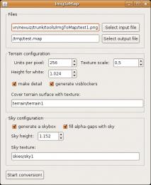
As one can see it's not very complicated and should be easy to use.
The following picture
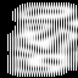
(note that the preview picture is screwed up, click onto it to see it unspoiled)
converts to this:
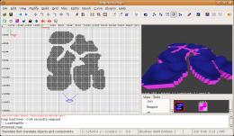
Another novel feature of ImgToMap is that it can autogenerate visblockers hidden within the terrain (which by itself cannot block vis). The following picture shows the visblockers generated (terrain removed):
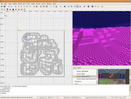
The source can be found at
http://svn.icculus.org/nexuiz/trunk/mis ... /ImgToMap/
(it's a complete Netbeans project - people toying around with it can directly load it into their IDE) and a binary here:
http://savagex.planetnexuiz.de/ImgToMap.zip
Unzip it and start the program either via a doubleclick on ImgToMap.jar (in properly set up graphical file managers) or in the console with "java -jar ImgToMap.jar".
You need a Java 6 runtime to execute it. People hating Java may feel free to convert it to C++, Mono/.net, Python, VisualBasic, Brainfuck or whatever.


